 |
||
|
The TN TP database can be extended with TP-linked raster map
scans and TP photographs. This feature has been available in TN from the
first release of TaskNAV version 1 in 1998. The examples below are screen
captures at 1024 x 768 pixel resolution in .PNG format and may take a short time
to load, but to see the potential, it is well worth the wait. When the scan data is loaded to TN, flight planning enters a
new dimension as you can now instantly view map and photo images for selected
TPs, or for the task TPs, by a right mouse-click to get the map window
popup-menu. If they exist, scans are retrieved automatically for the
selected TP(s) - no browsing required. However, a general "Picture
Explorer" facility is also provided so the entire picture library can be
previewed in horizontal or vertical tiled screen mode, e.g. examples 1 and 2
below, or by Map or Photo category in groups of 12 per screen. |
||
| Screen shot "thumbnail" pictures ... to view the original high quality pictures , click on the images below ... | ||
|
1. Browsing P-AIGUINES, M-AIGUINES, P-AUXERRE-BRANCHES and M-AUXERRE-BRANCHES, examples of possible extensions to the French TP database for TP Aiguines and TP Auxerre-Branches 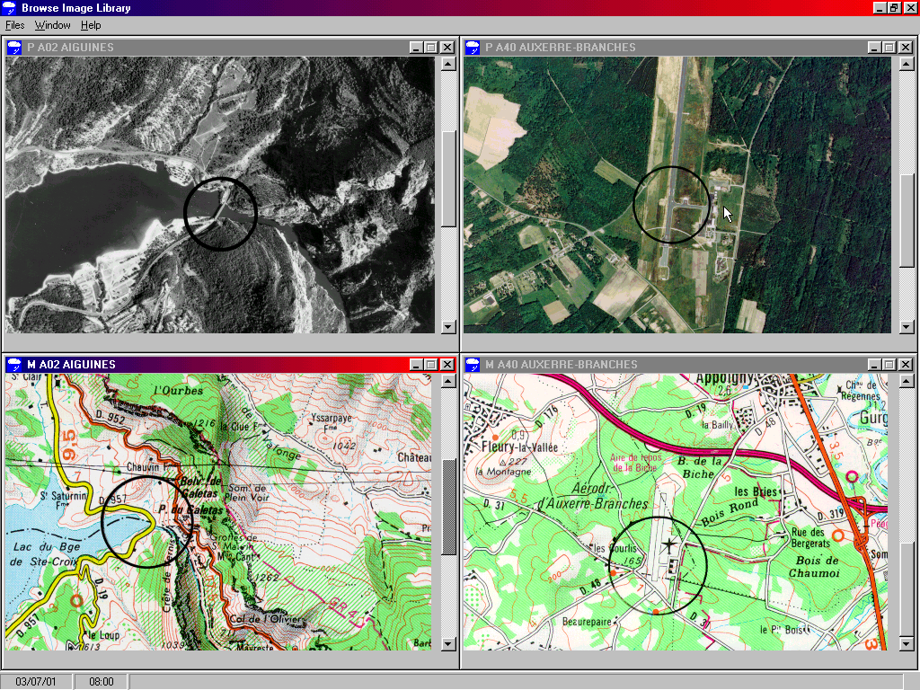 |
2. Browsing P-AMOU and M-AMOU, examples of possible extensions to French TP database for TP Amou. 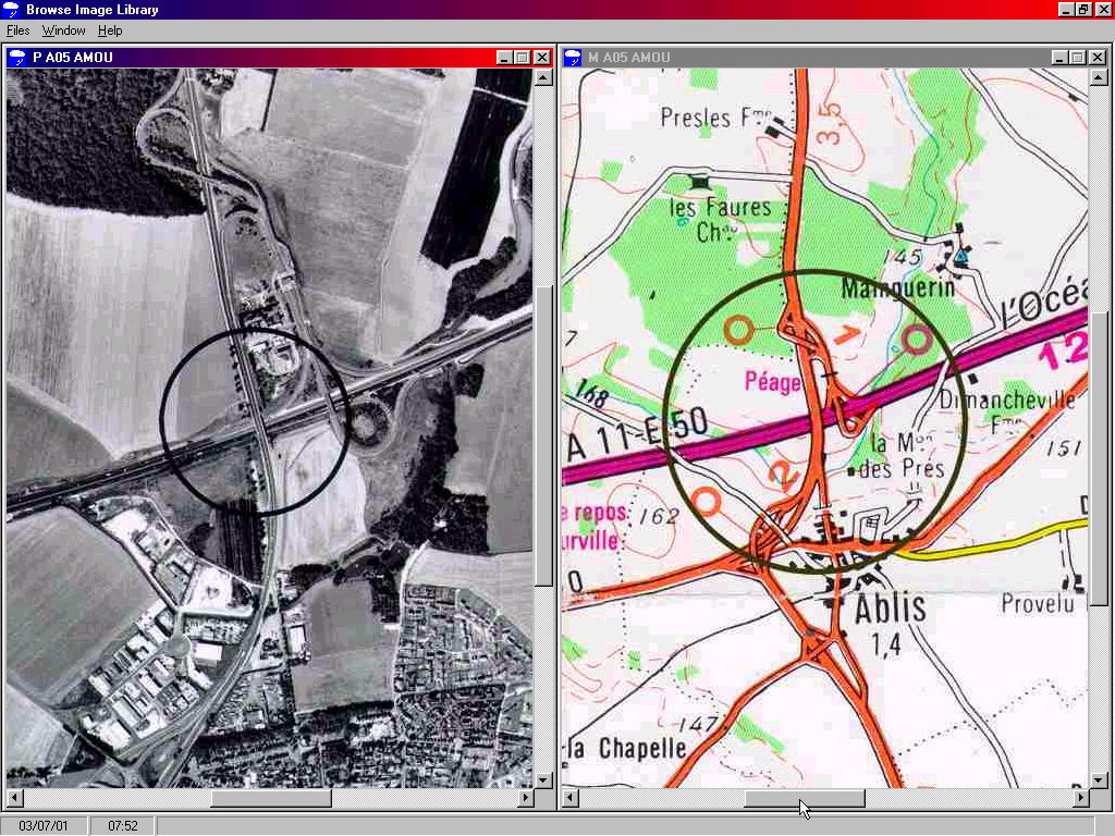 |
|
3 Flight Planning example: you select
a TP on the map while performing graphic flight planning and you decide to
checkout the TP photograph which is automatically linked with the screen graphic
TP dot and available with a single mouse click. Magic !!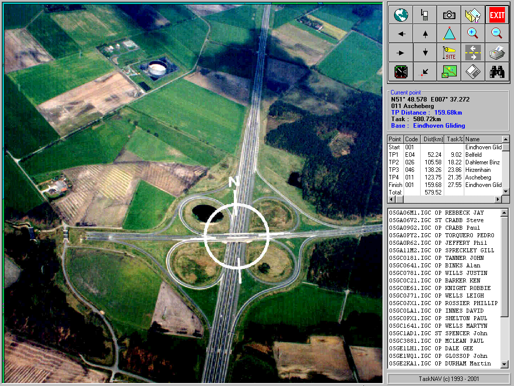 |
||
5. Browsing the TP photographs collection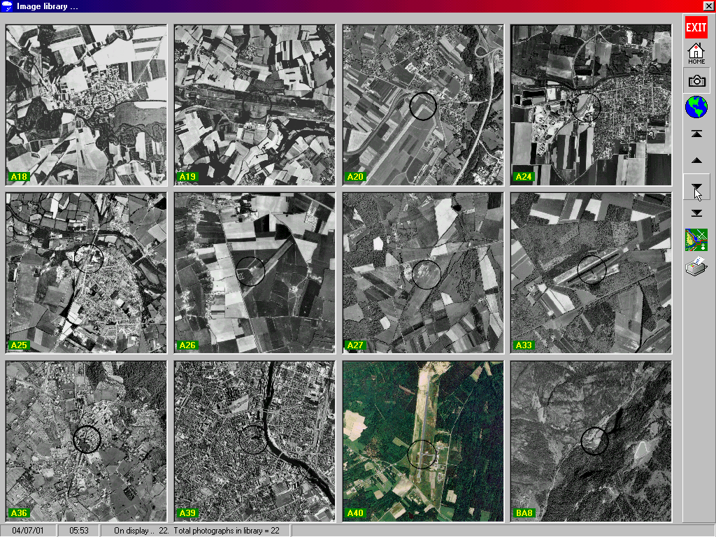 |
4. Browsing the TP maps collection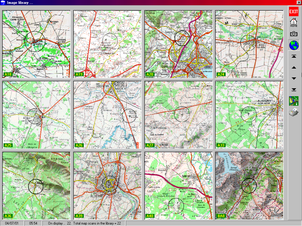 |
|
|
|
||
Advanced graphical flight
planning, vector mapping and automatic GNSS analysis for glider pilots
TaskNAV is compatible with IGC conformant .IGC files, Garmin .TRK files and the
obsolete logger format .DAT files ...
XC Profi,
Cambridge, Colibri, EW, DSX, Filser, Garmins, IMI. Easy Matchbox, Peschges,
GR1000,
Volkslogger, Posigraph, Scheffel, Zander
Manufacturer codes: ACT, CAI, DSX, EWA, FLA, FIL, GAR, GCS, IMI, LXN, NTE, PES, PRT, SCH, SDI, ZAN, igc, gnss
TaskNAV© Copyright 1993 - 2010 DJ Robertson & Co. All rights reserved
Revised:
November 07, 2012 03:42